Description
What Our Gearhead® Experts Are Saying:
“I brought the Montana 710i on a week-long backcountry route where cell service was nonexistent, and the inReach satellite messaging meant my family could follow along without worry. The large touchscreen reads clearly even in direct sun, and switching between gloves and bare hands never slowed me down at the trailhead or mid-route.”
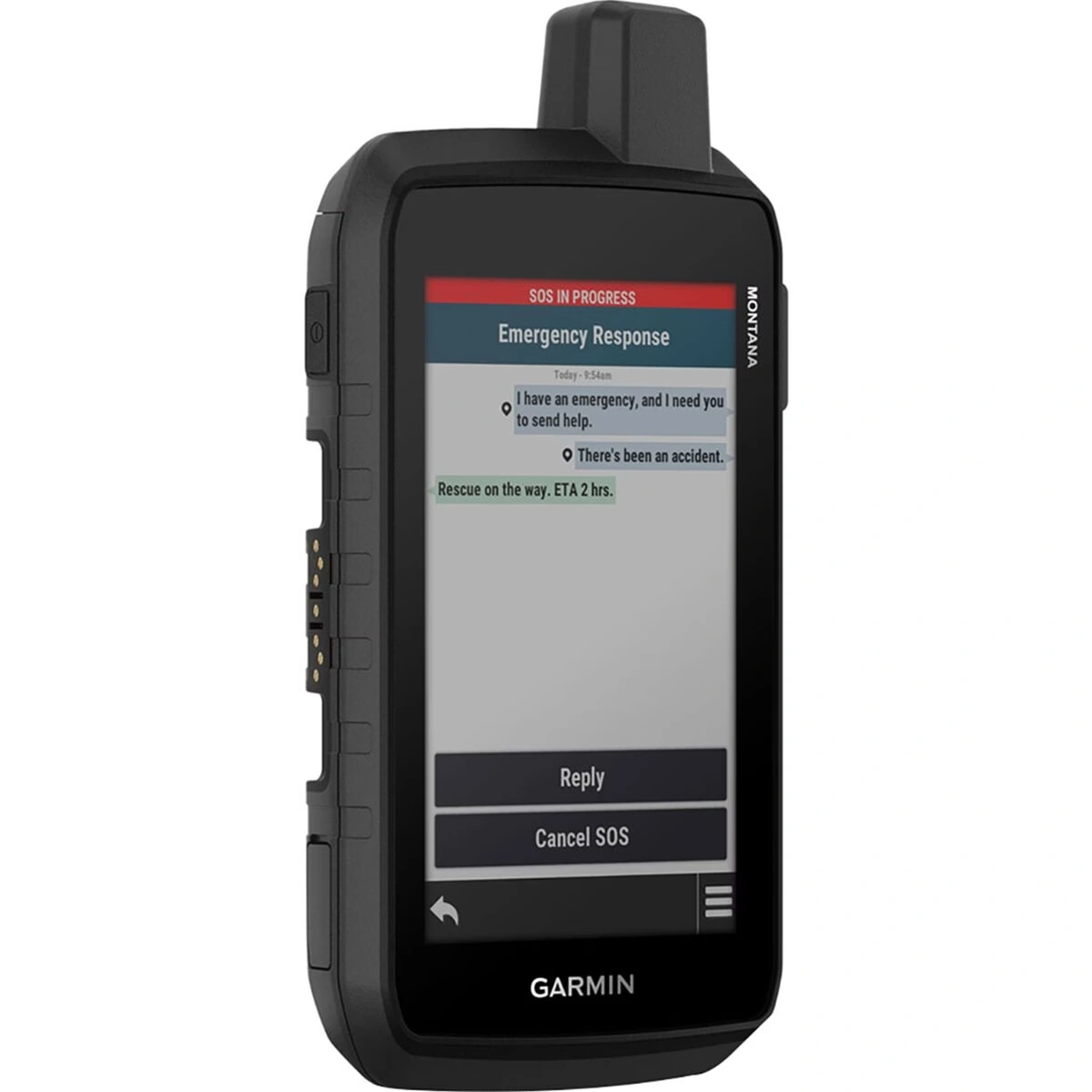
The moment a trail pushes past the last cell tower, navigation and communication become two of the most important tools in the pack. The Garmin Montana 710i was built for exactly that transition, combining a full-featured GPS navigator with inReach satellite technology so there’s never a gap between where the map ends and where real terrain begins. Whether you’re tracking a multi-day route through remote wilderness or scouting unfamiliar backcountry roads, this device keeps orientation and connection running in parallel.
A large five-inch glove-friendly touchscreen displays preloaded TopoActive maps with the clarity needed for fast decisions in the field, while multi-GNSS support pulls from multiple satellite networks for reliable positioning in deep terrain. The inReach integration enables two-way messaging and emergency SOS capabilities far beyond cell range, adding a layer of safety that matters most when objectives get serious. A digital compass and barometric altimeter round out the navigation suite, and the rugged IPX7-rated housing handles water, drops, and the general punishment of hard use. With up to 18 hours in standard mode and an expedition mode that stretches battery life across days, the Montana 710i is designed to outlast the adventure, not cut it short.
Details
Rugged GPS navigator with inReach satellite communication
Large 5in touchscreen reads clearly in direct sun or low light
Glove-friendly display works through all conditions and temperatures
Preloaded TopoActive maps deliver detailed backcountry guidance
inReach enables two-way messaging and SOS beyond cell coverage
Multi-GNSS support ensures accurate positioning in remote terrain
Digital compass and altimeter add essential backcountry navigation tools
IPX7 waterproofing and rugged housing handle harsh field conditions